Firth and Fell

Ardrossan to Brodick · then round the coast road to Lochranza

MainlandArdrossanEast sideBrodickBrodickSouth sideKildonanKildonanWest sideBlackwaterfootBlackwaterfootNorth sideLochranzaLochranzaKintyreClaonaig

Arran, from the firth to the fell

Arran, from its villages and hills to its stones and shore.

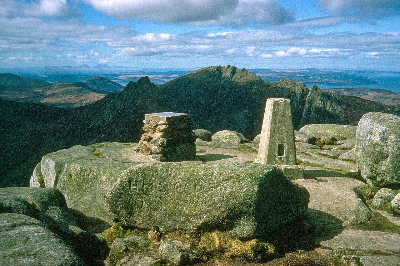
Goatfell, from Cladach to granite
Summit of Goatfell, Isle of Arran. Image: Julian Paren (CC BY-SA 2.0) (source file)

Granite Hills and Glens

Goatfell, from Cladach to granite

The usual climb to Arran’s highest point is a study in changing ground: woodland gives way to moor, then to bare granite beneath a summit view.

Photos in this piece: habiloid (CC BY-SA 2.0) (source file); habiloid (CC BY-SA 2.0) (source file); habiloid (CC BY-SA 2.0) (source file); habiloid (CC BY-SA 2.0) (source file); Mike Peel (CC BY-SA 4.0) (source file); wfmillar (CC BY-SA 2.0) (source file); Colin (CC BY-SA 3.0) (source file)
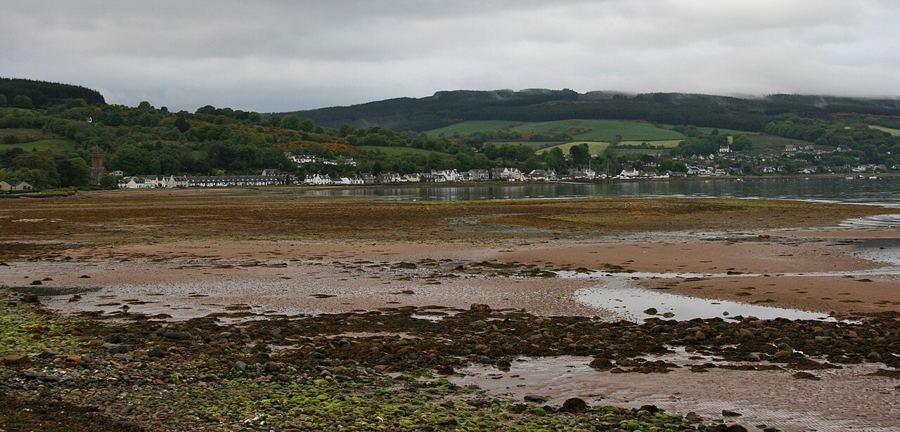
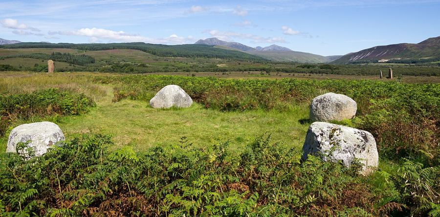
Arran sits in the Firth of Clyde, between the Ayrshire coast and the Kintyre peninsula. About 30 km from north to south, it is Scotland’s seventh largest island, with about 4,600 residents. The familiar label “Scotland in miniature” has some basis: highlands lie in the north, lowlands in the south, and the Highland Boundary Fault crosses the northern part. These pages look at the island’s villages, hills, stones, geology, castle, shore and wildlife. The detail that holds my attention ranges from six prehistoric stone circles at Machrie Moor to Hutton’s first unconformity, found near Lochranza in 1787.

Arran has highlands in the north and lowlands in the south, divided in part by the Highland Boundary Fault. The main ferry sails from Ardrossan to Brodick in about 55 minutes. The island is about 30 km long from north to south, a useful shape to keep in mind.

Eight ways round the island

Island Villages
Arran’s roughly 4,600 residents live mostly in coastal villages, linked by a single coast road that circles the island for about 90 km. Brodick and La
Granite Hills and Glens
The northern half rises into granite hills, with several summits above 800 m and Goatfell at 874 m, the highest point on the island. Glaciers carved t
Stones and Old Stories
Arran has one of Scotland’s richest groups of prehistoric monuments, from Neolithic chambered cairns to Bronze Age stone circles. The Norse controlled
Rock and Time
Arran is often called Scotland in miniature for its geology, and the label has a solid case: granite, sandstone, schist and volcanic rocks outcrop wit
Brodick Castle and Park
Brodick Castle was the island seat of the Dukes of Hamilton and has been in the National Trust for Scotland’s care since 1958. Its grounds include a w
Ferries, Shore and Sea
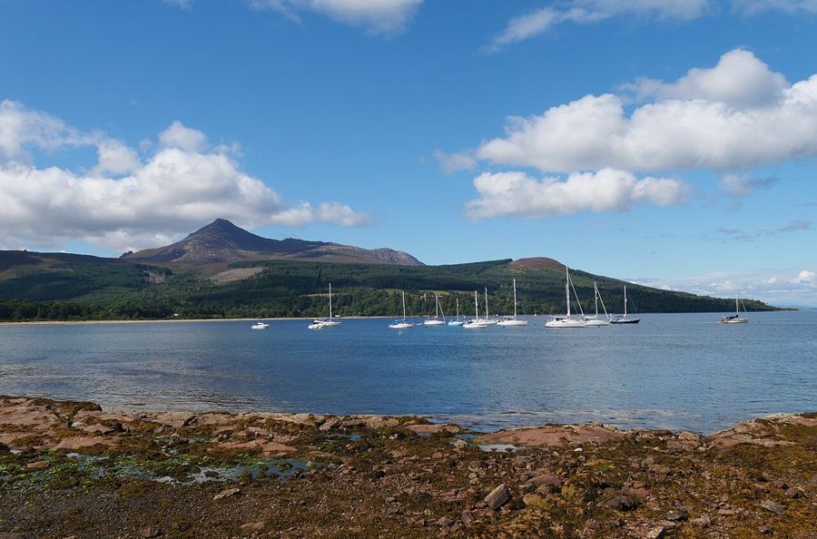
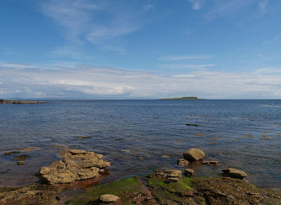
Arran sits between the Ayrshire coast and Kintyre, in the Firth of Clyde. Two ferry routes link the island with the mainland and Kintyre, while its co
Deer, Eagles and Seasons
Red deer, golden eagles and red squirrels all live on Arran, alongside three kinds of tree found wild nowhere else in the world. The island’s mild, we
Larder and Lore
Farming is concentrated in Arran’s lower southern half, while the Firth of Clyde provides fish and shellfish. Potato varieties bred on the island carr
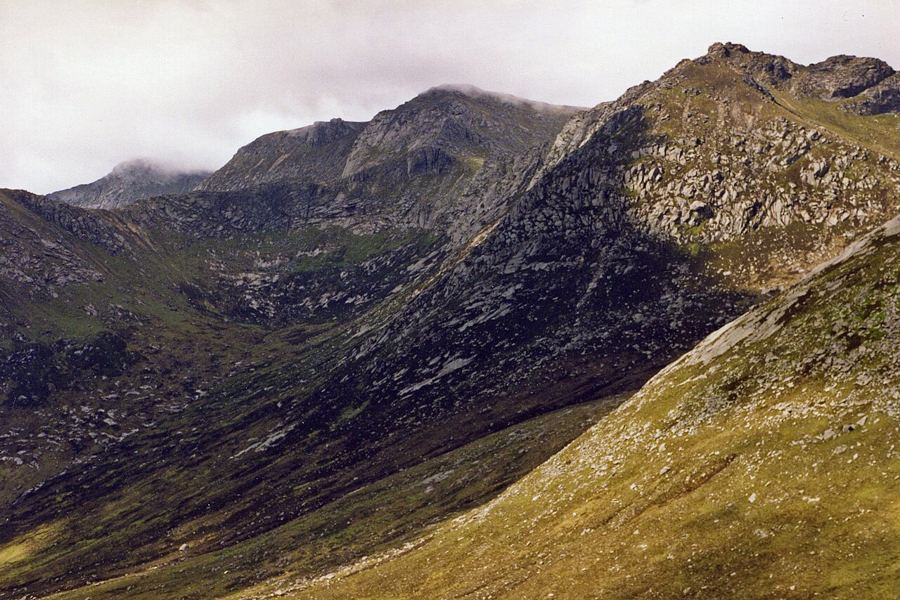
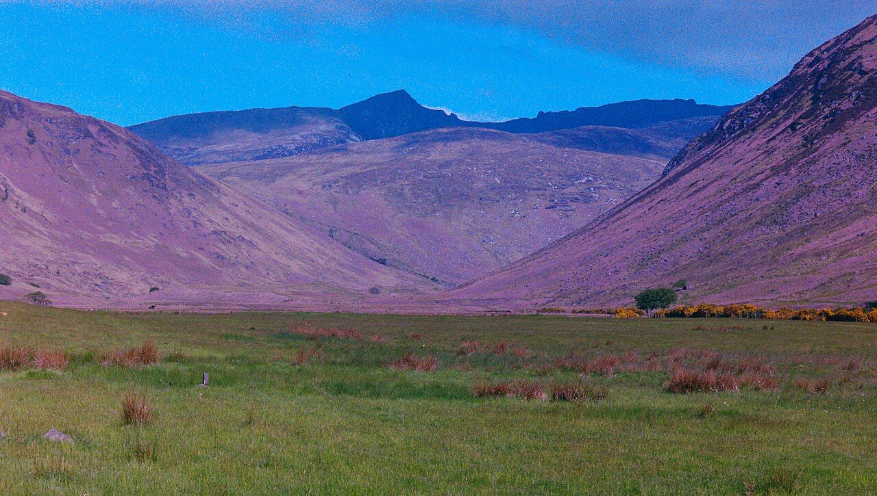
Glen Rosa: reading a valley shaped by ice
Glen Rosa, Arran. Image: habiloid (CC BY-SA 2.0) (source file)
Lamlash and the bay behind Holy IsleIsland VillagesLamlash and the bay behind Holy IsleGlen Sannox and the mine beneath the mountainsGranite Hills and GlensGlen Sannox and the mine beneath the mountainsThe stone circles of Machrie MoorStones and Old StoriesThe stone circles of Machrie Moor

Side by side