Brodick, the village at the head of the bay
The ferry port is also a village with a name shaped by its bay, Goatfell at its back and the island’s roads beginning nearby.
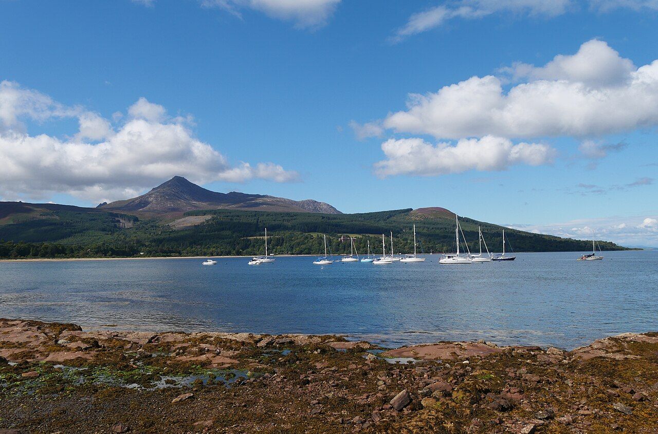
What does Brodick tell us about Arran?
Is Brodick merely the place where the ferry arrives, or does it offer a first impression worth weighing in its own right? It is the island’s main ferry port, on the east coast at the head of Brodick Bay. That makes it an obvious point of entry, but the village is not only a label on a crossing. Its setting gives it a shape of its own: bay in front, Goatfell to the north, and the island’s routes beginning nearby.
Brodick is a useful introduction, not a summary of everything Arran is. The view from the pier is strikingly direct, and the name gives a clue to the land beneath it. The village’s appeal lies less in being a grand arrival than in making the island’s geography immediately legible.
Brodick is not simply a place to leave; it is a first reading of Arran.
Brodick is not simply a place to leave; it is a first reading of Arran.
Why is the bay so central to the village?
Brodick stands at the head of Brodick Bay, and the ferry from Ardrossan berths at the pier on the bay’s south side. That arrangement gives the village a clear relationship with the water: the bay is not background scenery added to the story, but part of the reason the place has its name and its role.
The ferry’s arrival sets the first view, but the bay itself deserves more attention than a passing glance. It gives Brodick an open, recognisable form, with the village set at its head rather than strung along an indistinct stretch of coast. The crossing is part of that experience, but it is the land around the bay that makes the arrival feel specific to this place. That first encounter begins with the crossing from Ardrossan.
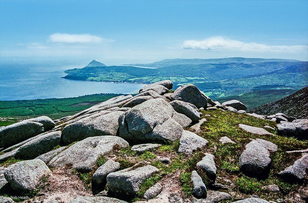

What does the name mean?
Brodick is usually traced to the Old Norse breiðr vík, meaning “broad bay”. It is a satisfyingly plain explanation. The name does not ask for a grand story when the shape of the place already does the work. The bay is broad enough to define the village’s position, and the name keeps that relationship close to the surface.
There is a modest pleasure in a place-name that points directly to its setting. It is not a claim that the name explains every part of Brodick; it does, however, make the bay feel less like a view and more like the centre of the village’s identity. The explanation is simple, and here simple is a strength.
What is the view from the pier?
Goatfell rises to the north of the village and fills the view from the pier. That is a firm opening image for Arran: the ferry arrives at the water’s edge, and the hill is already there, taking up the northern view. The contrast is one of scale rather than drama. Brodick sits at the bay; Goatfell stands above it.
This is where Brodick makes its best case as more than a port. The village offers a close meeting of shore and hill without needing to pretend that the whole island can be summed up from one viewpoint. The the climb to the island's summit belongs to a different encounter with Goatfell; from the pier, the appeal is that the mountain is simply present, filling the view.
Does Brodick lead anywhere beyond the bay?
The B880, known on the island as the String Road, leaves the coast road near Brodick and crosses the island to Blackwaterfoot. That gives the village a useful place in the island’s geography: it is not only a coastal arrival point, but also near the beginning of a road that crosses Arran.
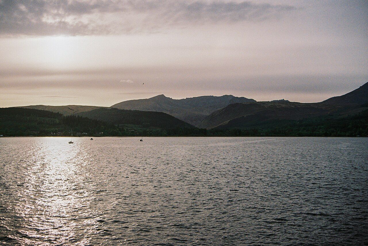

There is a pleasing clarity to that contrast. Brodick is set at the head of a bay, while the String Road carries the story inland and across the island. The village does not need to claim that every route leads through it. Its position is enough to make it a natural first reference point. The contrast also points towards the largest village to the south, a reminder that Brodick is one part of a wider island pattern rather than the whole of it.
What else belongs to Brodick?
Brodick Castle stands among woods on the northern shore of the bay, about 3 km from the pier. It gives the bay another point of interest, though the village and castle should not be collapsed into one attraction. The castle’s setting among woods is distinct from the open view of Goatfell from the pier; each changes the way the northern side of the bay is read.
The Arran Heritage Museum is at Rosaburn, at the northern edge of the village. The Brodick Highland Games are held each summer, traditionally in August. These details suggest a village with more than a single purpose, without needing to turn it into a list of things to see. Brodick’s quieter character is in the way the bay, the hill and these places sit within the same small frame.
Is Brodick only a place of arrival?
No. The Glenrosa Water and the Cloy burn run down into the bay at Brodick, adding the movement of water from the land to the wider bay setting. Arran is part of the council area run by North Ayrshire Council, whose offices for the island are in Brodick. Those facts give the village a life beyond the ferry, even if arrival is the first thing many people associate with it.
My verdict is that Brodick is most interesting when it is allowed to be both things at once: a working point of arrival and a village with its own clear setting. The bay explains the name; Goatfell makes the first view; the road points beyond the coast. It is a strong opening to Arran, though not a complete account of it. What might the island look like when Brodick is no longer the first view?