Lamlash and the bay behind Holy Isle
Arran’s largest village faces a sheltered bay with a long record of ships at anchor, from King Haakon IV’s fleet to the Royal Navy.
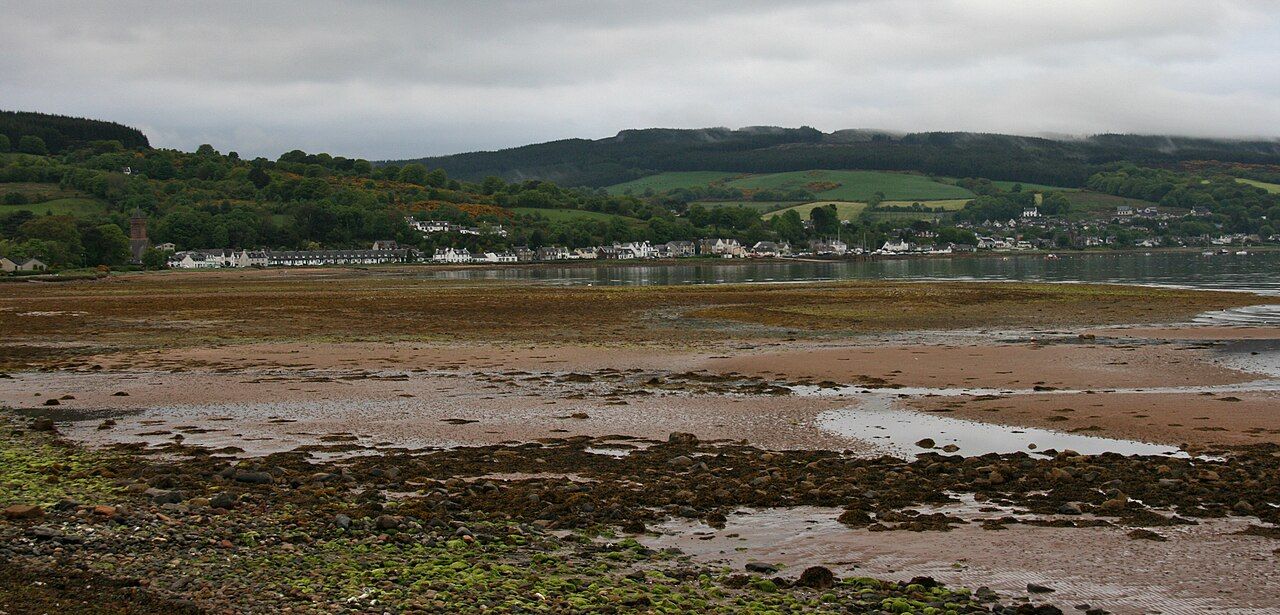
In 1263, the fleet of King Haakon IV of Norway sheltered in Lamlash Bay, shortly before the Battle of Largs. It is a striking first chapter for a bay that has since served the Royal Navy in both world wars. Lamlash is Arran’s largest village, about 6 km south of Brodick, but the anchorage gives the place a history beyond its size.
Why is the bay sheltered?
Holy Isle lies across the mouth of Lamlash Bay, keeping it sheltered from the open Firth of Clyde. That geography is the simple explanation for the bay’s appeal as an anchorage. It also gives Lamlash a close relationship with the island opposite: not a distant landmark, but the feature that shapes the bay itself.
The crossing to the island across the bay is part of that connection. A small passenger ferry runs from Lamlash pier in the warmer months. The ferry is a modest detail beside the fleet and the navy, but it makes the relationship between village and island a continuing one, rather than just a matter of history.
Where does the name Lamlash come from?
Lamlash takes its name from Eilean Molaise, the old Gaelic name of Holy Isle, after the saint Molaise. It is a name rooted in the island across the bay, and it suits a village whose setting is so closely defined by that neighbour. The bay may have drawn ships for practical reasons; the name carries a different kind of attachment.
What does the bay’s history amount to?
The fleet of King Haakon IV makes Lamlash Bay part of the story leading up to the Battle of Largs. The Royal Navy’s use of the bay as an anchorage in both the First and Second World Wars gives it a later, repeated role. Those episodes are not the same kind of history, but both make the sheltered water more than a pleasing setting. Its usefulness is the point.
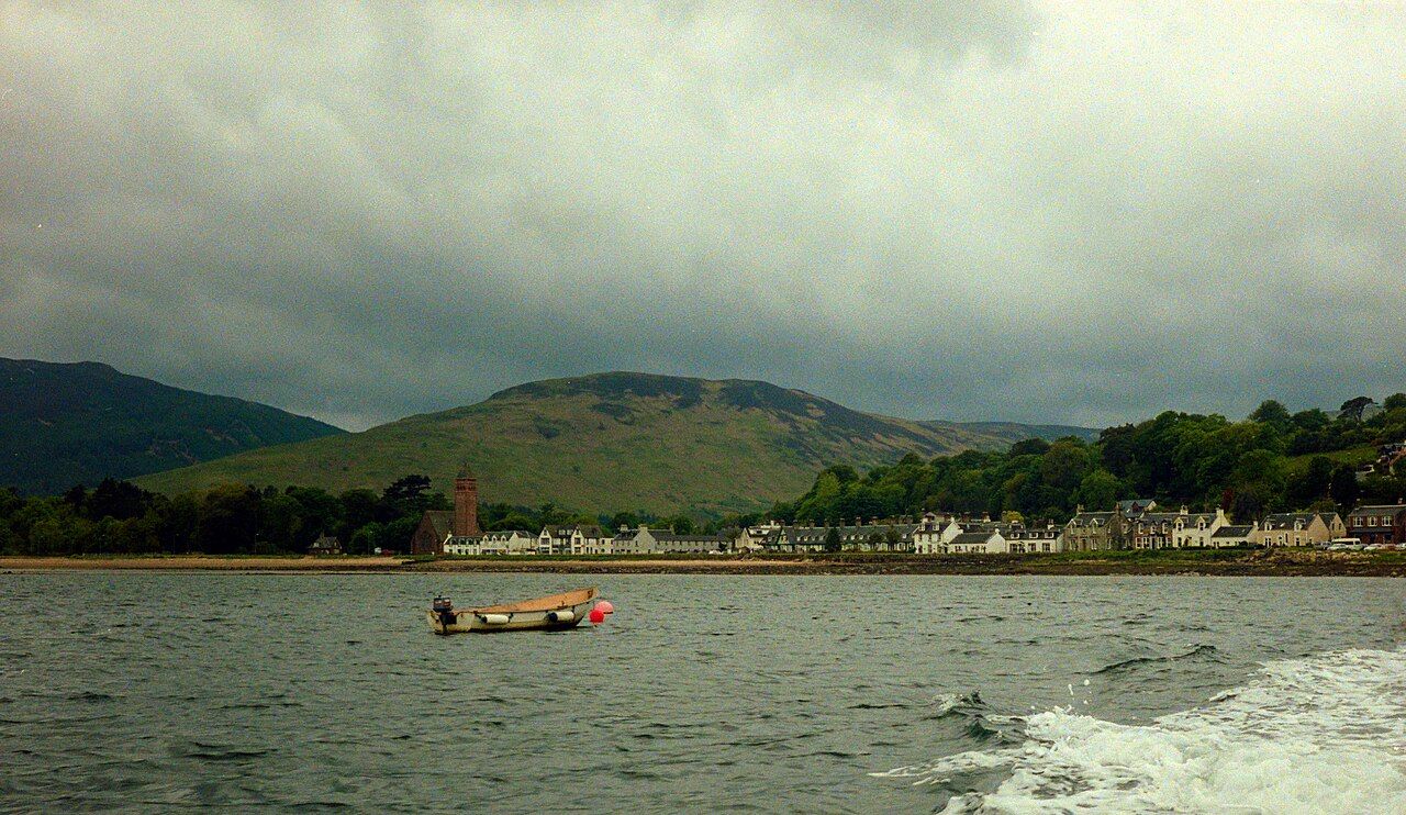

That is perhaps the most persuasive way to read Lamlash: as a village beside a working piece of geography, rather than a place whose interest rests only on its view. The story of the protected seabed of the bay adds another dimension to how the water is regarded now, alongside its record as shelter for ships.
What else gives the village its character?
Arran High School and the island’s hospital are both in Lamlash. That gives the largest village a role in island life beyond its harbour and its past. It is a useful counterweight to the more dramatic account of fleets and warships: Lamlash is not simply a backdrop to events that happened on the water.
A memorial stone on the shore remembers the island families who emigrated to Canada in 1829. The marker is a quieter piece of history than a fleet at anchor, but it brings the story back to people and departure. The shore also holds the memory of the families who sailed for Canada.
Is Lamlash mainly a village or an anchorage?
It is both, and the two identities do not compete. The bay explains why fleets and the Royal Navy used the anchorage; the school, hospital and memorial stone give the village a broader life and past. Holy Isle stands across the mouth, central to the shelter and present in the name. Lamlash is at its most interesting where those strands meet, rather than in any single episode.
For a place shaped by ships, departures and the island opposite, which story is the one that stays with Lamlash?