What has returned to Lamlash Bay?
Scallops, lobsters and young fish offer evidence of change in Scotland’s first no take zone, though the recovery story is best told carefully.
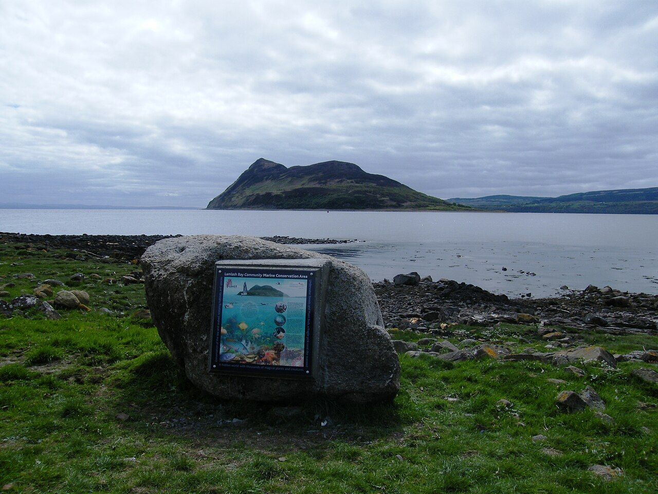
I have a weakness for a good before-and-after story, but the Lamlash Bay version is strongest when it stays precise. The evidence is not a grand claim about the sea being restored. It is a set of changes beneath the water, and a rule that gave them room.
What is the no take zone?
In 2008, part of Lamlash Bay became the first no take zone in Scotland. No fishing of any kind is allowed within it. The zone followed a long campaign by island residents, which makes the arrangement more than a line drawn on a map: it was a local decision to give part of the bay a different future.
That strict definition matters. The story here is not of fishing being adjusted or of one kind of catch being favoured. The no take zone excludes fishing altogether. It is a focused measure, and the evidence from that particular area should be kept distinct from wider claims about the surrounding sea.
What has come back?
Scallops and lobsters in the zone have grown larger and more numerous since protection began. That is the clearest answer to the question in the headline: shellfish are not merely present, but have changed in size and number. For anyone interested in the shellfish of the firth, this is a more substantial point than a vague promise of abundance.
Surveys by divers have also recorded the return of young cod and other fish. “Recorded” is the useful word. It describes evidence gathered in the zone, without pretending that a few species tell the whole story of a seabed. Still, the presence of young fish makes the case for protection feel less abstract.
What is on the seabed?
Off south Arran, maerl beds and seagrass meadows grow on the seabed. Maerl is a slow-growing red seaweed that forms hard beds on the sea floor. These are not interchangeable features, and the point is not to make them sound like a backdrop. Together, they give the underwater landscape substance alongside its fish and shellfish.
The no take zone sits within a larger marine story. In 2014, the waters around south Arran became the South Arran Marine Protected Area. The two designations are related in place, but they are not the same thing: the no take zone is the part where no fishing of any kind is allowed.
Does the evidence make the case?
For me, the case is strongest when it stays with what is known. Larger and more numerous scallops and lobsters, alongside young cod and other fish recorded by divers, amount to meaningful signs of change. They do not prove that every part of the bay has recovered, or that recovery is complete. The facts do not say that, and the story does not need to say it.
There is an appealing contrast between the scale of the decision and the detail of its results. A boundary was set after a long island campaign; beneath the water, the signs include particular shellfish and young fish, as well as maerl and seagrass in the waters off south Arran. I find that more persuasive than calling the bay a success and leaving the evidence unexplained.
Where does the bay fit in island life?
Lamlash Bay is not only a protected area in a marine account. It belongs to the setting of the anchorage village and the island at the mouth of the bay. That makes the underwater changes part of a place people know by its shore and its outline, even when the most telling details lie below the surface.
The no take zone offers a clear answer to what protection can permit: larger and more numerous shellfish, and young fish recorded again in the zone. Whether those signs are the beginning of a wider recovery, or its most persuasive measure, remains the more interesting question.