The Highland Boundary Fault crosses Arran
A map line crosses the north of Arran. The real interest is the contrast it marks: old schists to the north, younger sedimentary rocks to the south.
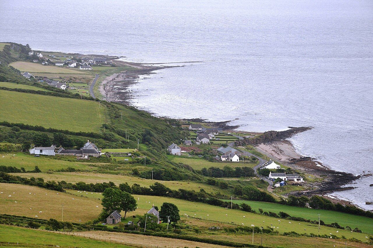
What is the Highland Boundary Fault?
Can a line on a map be walked over? On Arran, the Highland Boundary Fault makes that a useful question. It crosses the north of the island from east to west, but it is not a visible stripe laid across the land. Its interest is in the change it marks beneath the surface, and in the contrast between the landscapes on either side.
The fault runs across Scotland from Arran and the Clyde to Stonehaven on the North Sea coast. It formed during mountain building more than 400 million years ago. Those are large measures of time and distance; on Arran, the idea becomes more immediate. The boundary crosses one island, with different rocks to its north and south.
The map gives the fault a line and direction. The ground is less tidy. That difference matters: the line is a useful way to describe where the rocks change, not a stripe that has to announce itself across every stretch of land. A person can walk over the course the map indicates without seeing a marked boundary beneath their feet.
What changes across it?
North of the fault lie old Dalradian schists. South of it lie younger sedimentary rocks. The rocks along the fault are broken and sheared, a less orderly picture than the clean line on a map suggests.
That contrast is more persuasive than any grand claim about a dividing line. The fault is not a simple border between two kinds of scenery, neatly visible at every point. It is a geological boundary, with a story carried in the rocks. The map gives it a clear direction; the land gives it texture.
There is a considerable difference in age between the rock groups on either side, as well as a difference in their kind. The description is plain, but the combination is striking: older schists to the north, younger sedimentary rocks to the south, and broken, sheared rock along the boundary itself. That is more compelling than imagining a crisp seam.
Does it divide Arran into highlands and lowlands?
Arran is often said to be a miniature of Scotland, with highlands in the north and lowlands in the south. There is a solid reason the comparison lasts: the northern half is mountainous, while the southern half is lower rolling moor and farmland. It is an appealing shorthand, though not a complete account of the island.
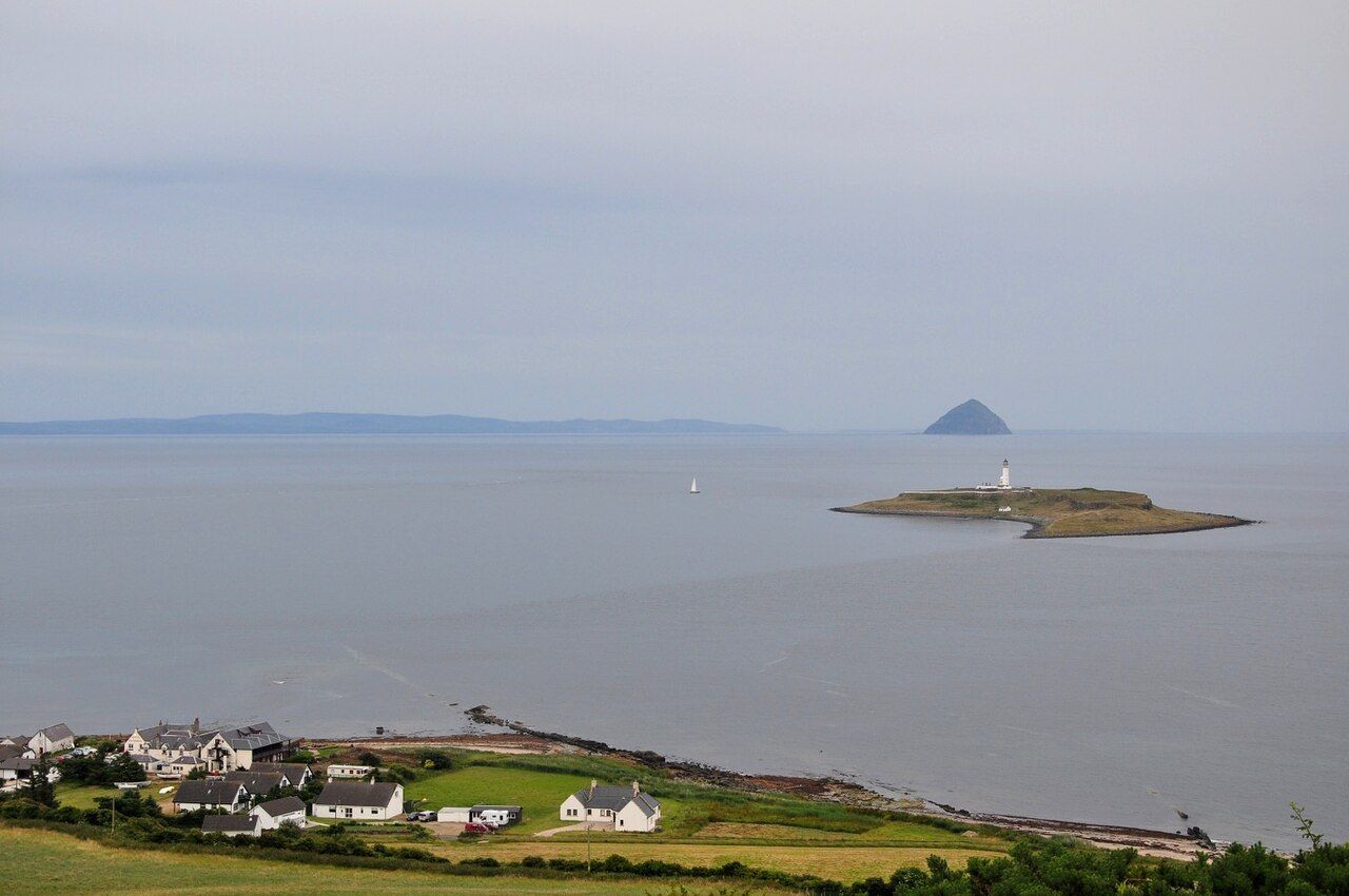

The fault helps explain why that shorthand feels apt, but it should not be mistaken for a line separating two miniature countries. The geological division is one thing; the shape of the land is another. They make sense together without being interchangeable.
That distinction keeps the comparison useful rather than overworked. A mountainous north and a lower southern landscape give the island a broad contrast; the rocks offer another kind of division. The fault does not need to explain every slope or every change in scenery to matter. It is enough that the geological boundary and the island’s north–south difference sit alongside each other.
Where does the line meet the shore?
On the east coast, the Highland Boundary Fault reaches the shore near North Sannox. That gives the map line a coastal point of reference, rather than leaving it as an abstract stroke across the island. The shore is part of the fault’s course, not a separate story.
There is a useful pleasure in thinking of a geological boundary this way: not as a destination with a single dramatic reveal, but as a change that crosses ordinary ground. A person walking over a line on a map may not see the fault itself. The rocks, broken and sheared along it, are the stronger evidence.
What else belongs in the picture?
Other geological threads on Arran include the junction Hutton saw and the granite that pushed up the north. For the north-east coast, there are also the sands of the north-east. These are useful companions to the fault story, rather than substitutes for it.
The Highland Boundary Fault is worth attention because it makes a broad Scottish divide legible on one island. The point is not to demand a perfect line in the landscape. It is to notice what the map says, then hold that against the difference between Arran’s mountainous north and its lower southern ground.