Glenashdale Falls through the forest
A forest walk from Whiting Bay to a two-leap waterfall, where the Glenashdale Burn meets a hard sill of igneous rock.
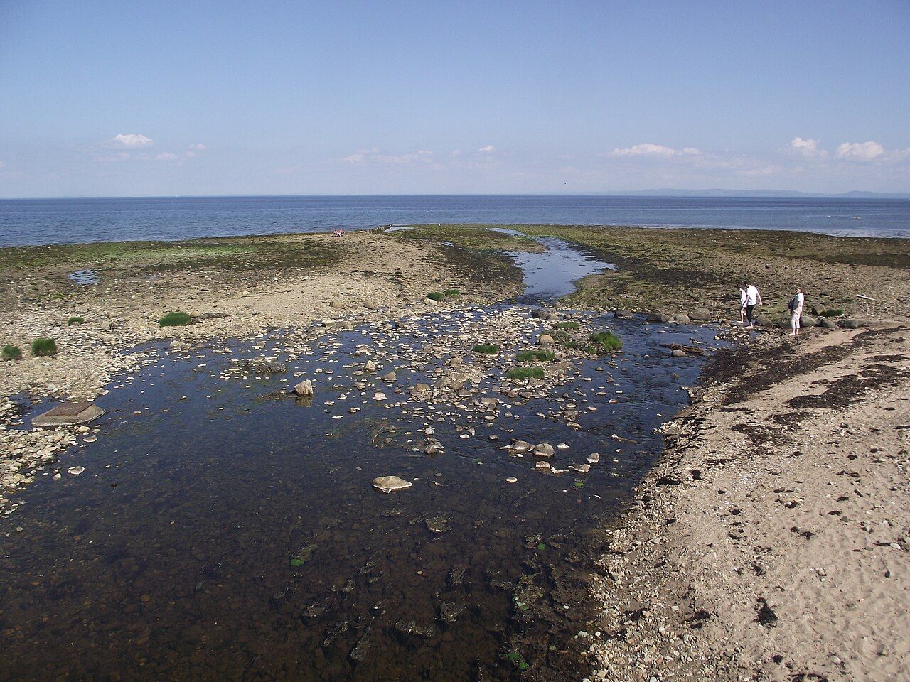
I tend to trust a waterfall more when there is something to explain its shape. At Glenashdale, the Glenashdale Burn makes two leaps over a hard sill of igneous rock. The result is not just a measure of height, but a meeting of moving water and a stubborn edge of stone.
Where are the falls?
Glenashdale Falls lie in the forest about two kilometres inland from the south end of Whiting Bay. The falls are set apart from the seafront village below. That separation suits the place: this is a forest walk with water and rock at its centre, rather than a view over the village.
Whiting Bay gives the walk a clear point of reference. The falls are inland, but not so far that the village drops out of the story. The contrast is part of the appeal: a coastal settlement at one end, and a burn cutting across rock at the other. The change in setting is simple, but it gives the walk a purpose beyond reaching a waterfall.
What makes the falls distinctive?
The Glenashdale Burn drops in two leaps, with a total height of about forty-five metres. It is a substantial fall, though the two-stage shape matters more to me than the figure. One uninterrupted drop would be simpler; here, the water changes course over the sill, and the rock is not merely a backdrop.
That sill is made of igneous rock, a hard layer that the burn spills over. The pairing gives the falls their character: water taking the route available to it, rock setting the terms. another sill on the west coast makes a useful point of comparison, though Glenashdale has its own setting in the forest.
What is the view like?
A viewing platform looks across the gorge to the falls. The angle matters. The water is seen against the cut in the land, with the sill holding the eye as much as the falling stream. I would take this over a viewpoint that offered only a distant, unbroken sheet of water. The gorge is part of the subject, not just the space the water crosses.
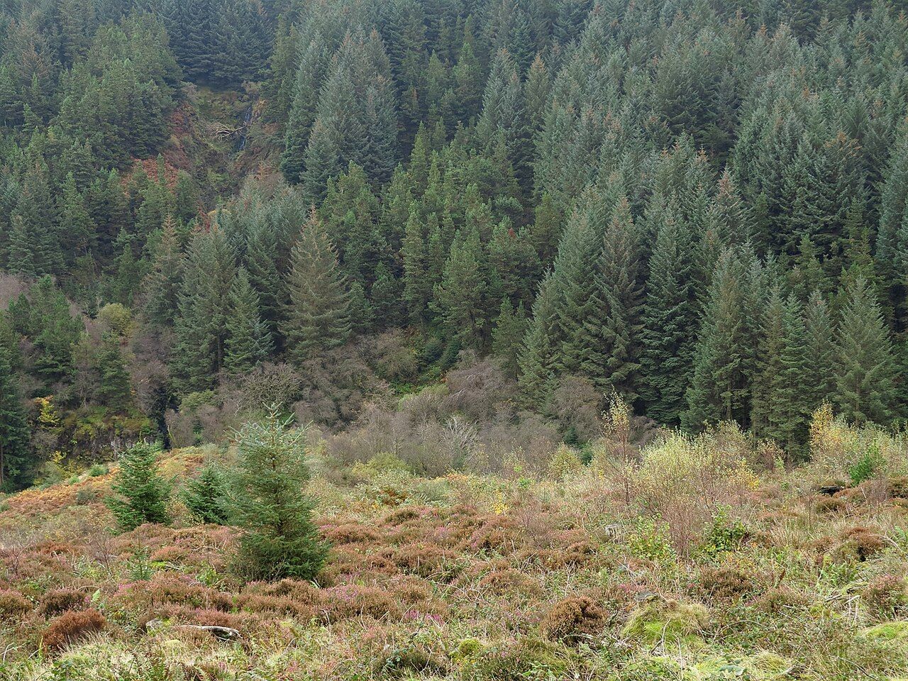

The forest around the falls is managed by Forestry and Land Scotland. That is a plain fact, but it helps define the setting: the falls sit within managed forest, not in an open hillside landscape. The Gaelic name Eas a' Chrannaig is sometimes given for Glenashdale Falls. It is worth knowing, even if the rock and water make the more immediate impression.
When are the falls fullest?
The falls are at their fullest after heavy autumn and winter rain. That is when the two leaps are likely to read most clearly as a forceful sequence, rather than simply as separate drops. Still, the sill is doing its work regardless of the volume: the shape of the place does not depend on a single season.
The water changes, but the central feature remains the same: the Glenashdale Burn spilling over hard rock in two stages. I would be interested in seeing the same sill beneath both a full burn and a quieter flow. Which version would make the stronger impression?
Can the walk be extended?
Paths from Glenashdale Falls link with the track to the twin cairns on the hill, the Giants' Graves chambered cairns. That gives the walk a second subject: the contrast between a waterfall shaped by rock and chambered cairns on the hill. It is an addition with a different mood, not a reason to treat the falls as a mere opening act.
For this story, the water remains the better reason to stop. The falls have a clear physical argument: two leaps, a gorge, and a hard sill. The path towards the cairns broadens the outing.
At Glenashdale, what holds attention is how the burn meets the rock. Would the cairns change that balance, or sharpen it?